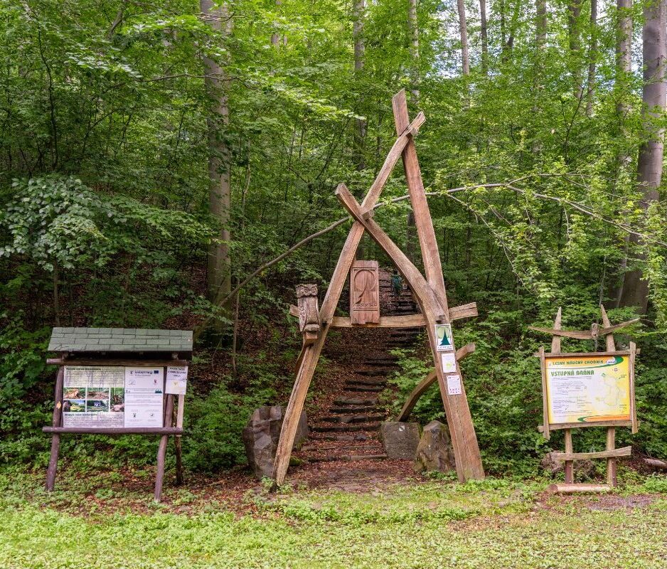
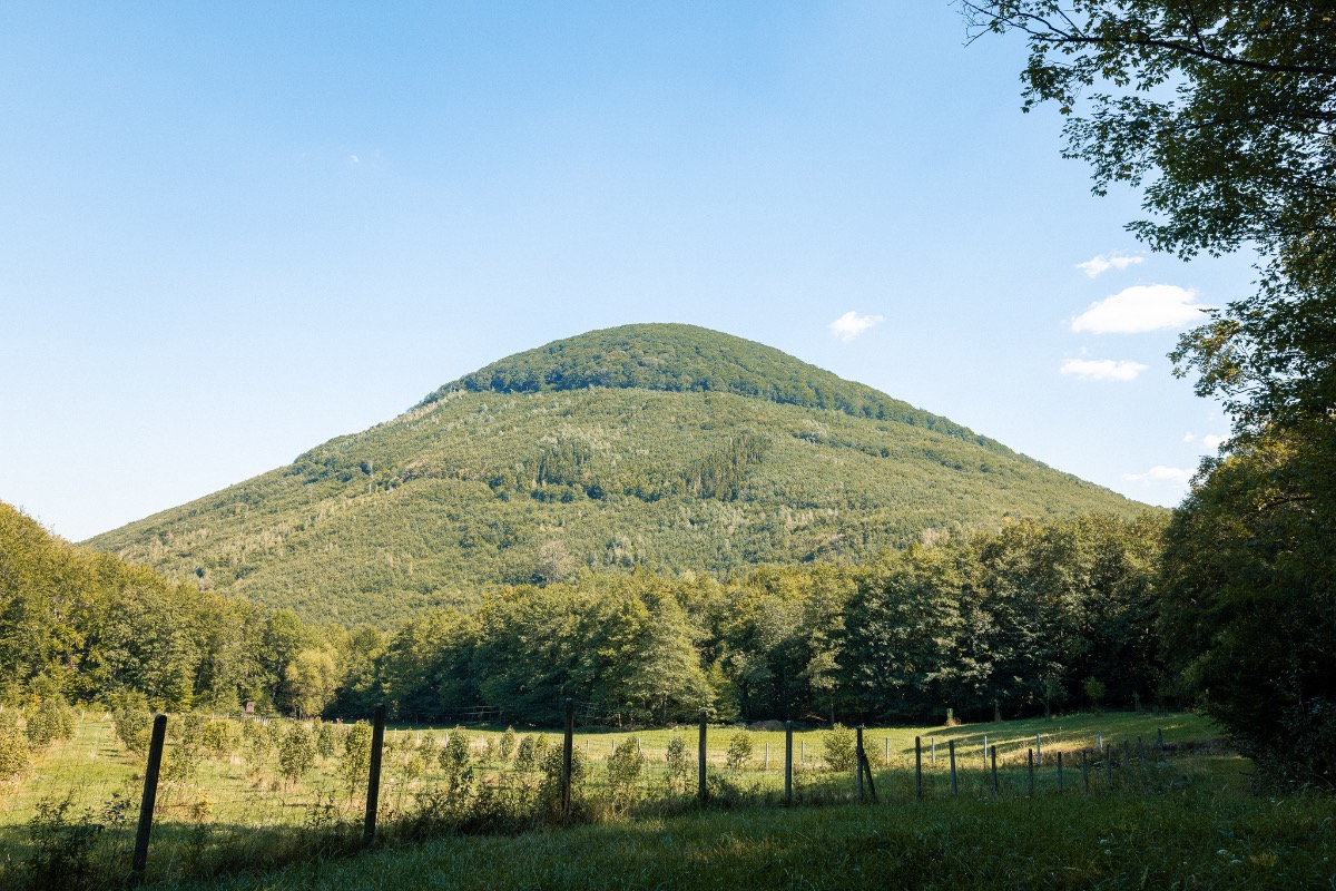
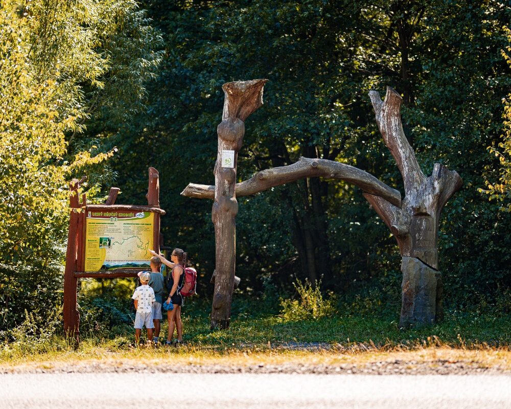
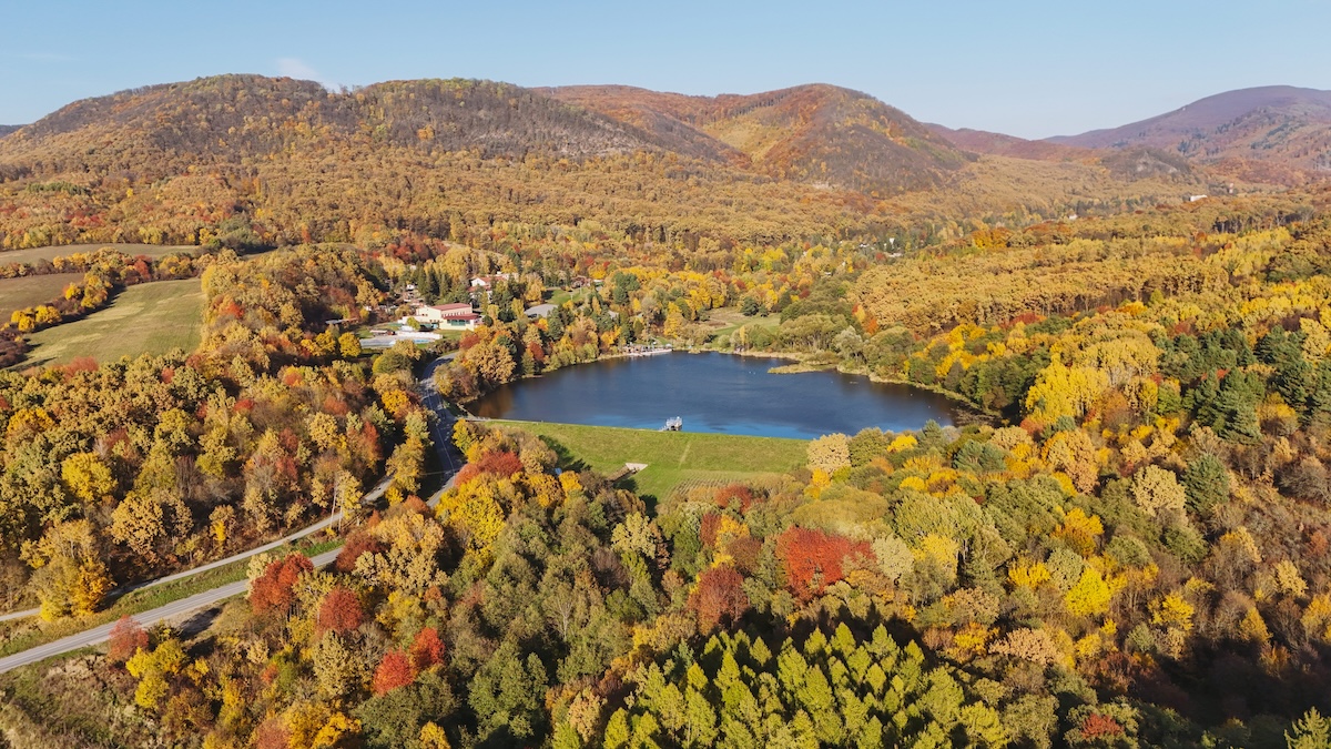
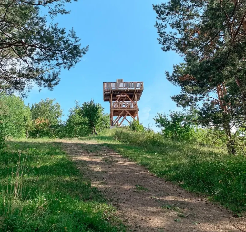
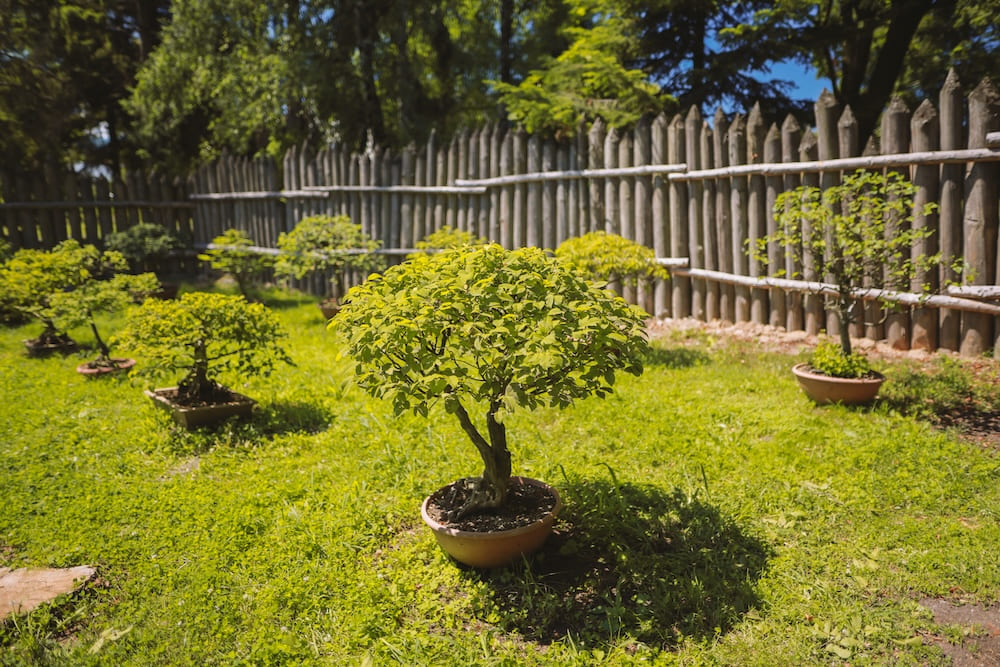
The north-eastern part of the Slanské vrchy hills is home to the picturesque valley of the Hermanovský stream, also known as the Starý potok. It is through this valley that Telekia Nature Trail, which starts in the village of Hermanovce nad Topľou in the district of Vranov nad Topľou. You can reach the start of the route by following the blue tourist sign from the upper end of the village, where you can also park. Buses only run here occasionally, so if you’re travelling by train, you can get off at nearby Bystro. At the start of the footpath stands General Kukorelli’s cottage and a Slovak National Uprising memorial, both of which serve as reminders of this region’s rich history.
Origins and Mission
The trail was created in 2014 thanks to the collaboration between the municipality of Hermanovce nad Topľou, the Slanské vrchy – East Association and the Local History Museum in Hanušovce nad Topľou. Its aim is to show that there are more points of interest in the immediate vicinity than might appear at first glance. In a single trip, you can discover the geology, nature, history and local culture of the area.
Why Telekia?
The trail is named after a rare plant, the ornamental telekia (Telekia speciosa). This stately flower with its bright yellow flower heads is one of the Eastern Carpathian species of our flora. It is most abundant in the Vihorlat and Bukovské Hills, but is rare in the Slanské Hills. One of the few places where it thrives here is the damp valley of the Starý potok stream and the foothills Dresses. The genus is named after a member of the Hungarian noble family, the Telekis.
Route and difficulty
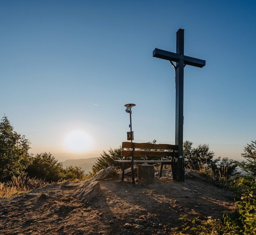
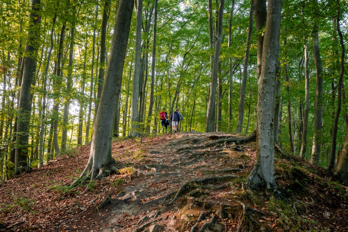
The trail is approximately 6 kilometres long and has an elevation gain of around 260 metres. It starts at an altitude of roughly 420 metres above sea level. It can be walked in either direction and is accessible all year round. The route is of moderate difficulty and runs mainly through woodland and, in places, rocky terrain; school groups and families with young children should therefore take extra care on the rocky sections. Part of the route follows marked hiking trails. The yellow trail leads from Lúka pod Oblíkom to Oblík itself, whilst the blue trail leads from the meadow to Krížne cesty.
Ten stops, ten stories
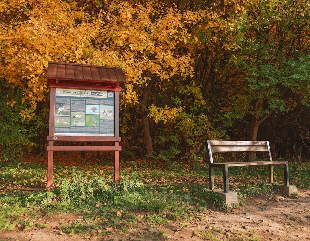
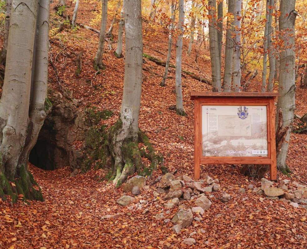
There are 10 stops along the route, each with an information board. These focus on the anti-fascist resistance, water sources, sacred stones, the forest’s inhabitants and mushrooms. Further boards provide information about Lúka za Oblíkom, the abandoned settlement of Nižné huty, Zimné diery, Starý potok itself and the Hermanovské skaly. Each stop thus reveals a different piece of the mosaic that makes up the local landscape.
Protected Areas and the Valley of the Giants
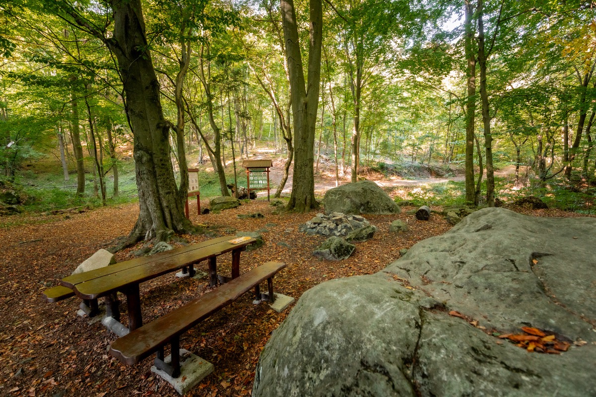
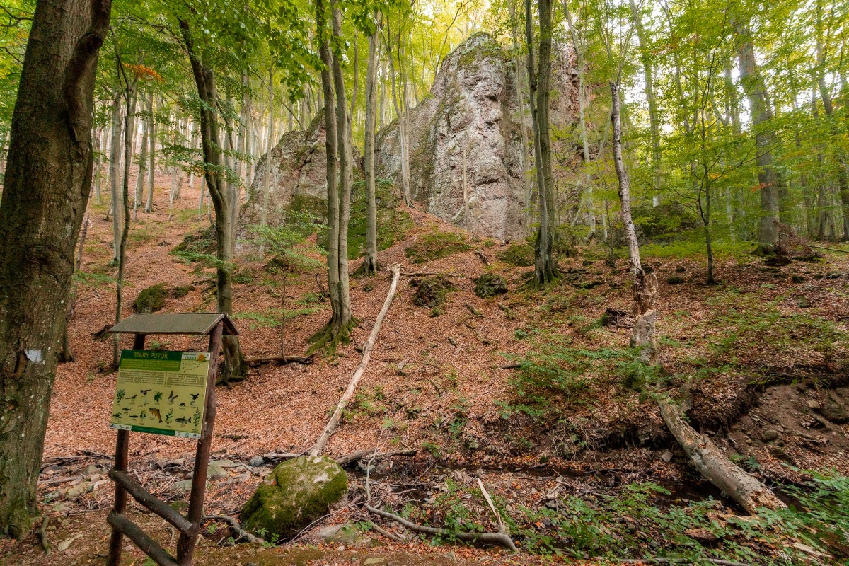
The footpath passes through two areas of outstanding natural beauty: the Oblík National Nature Reserve and the Hermanovské skaly Nature Reserve. The impressive andesite cliffs and boulders are remnants of the mountain range’s volcanic past. The section near the rocks is known as the Valley of the Giants. The family trail ‘Legendárium’ also runs through here, where children will find plaques on the trees telling a fairy tale about a local giant and the brave Jurko. There are also play features, a campfire site and seating areas, making it a great place for the whole family to relax.
Source.
Photo source:OOCR RŠ
Map
Gallery



Information
A six-kilometre trail winds through the valley of the Starý potok stream above Hermanovce nad Topľou; it was developed in 2014 by the local council in collaboration with the regional association and the Hanušovce Museum. Ten stops will take you past the volcanic cliffs of the Hermanovské skály, through the edge of the Oblík nature reserve, and to sites linked to the resistance movement and to the now-defunct ironworks.
Children will enjoy the Valley of the Giants with its fairy-tale story set amongst the trees, whilst adults can enjoy the tranquillity of the forest, the little wells and the campfire. The footpath can be walked there and back or as a circular route, at any time of year.
Interesting fact: The flower after which the footpath is named grows to a height of up to two metres, and its leaves are amongst the largest of our wild herbs.