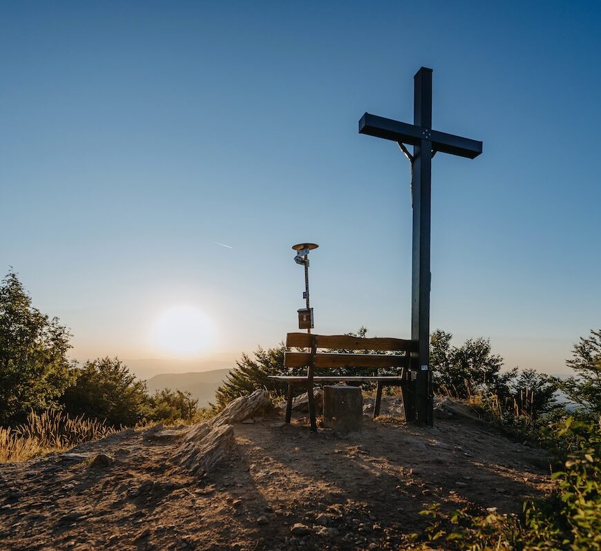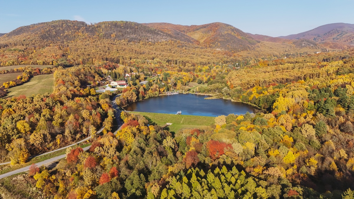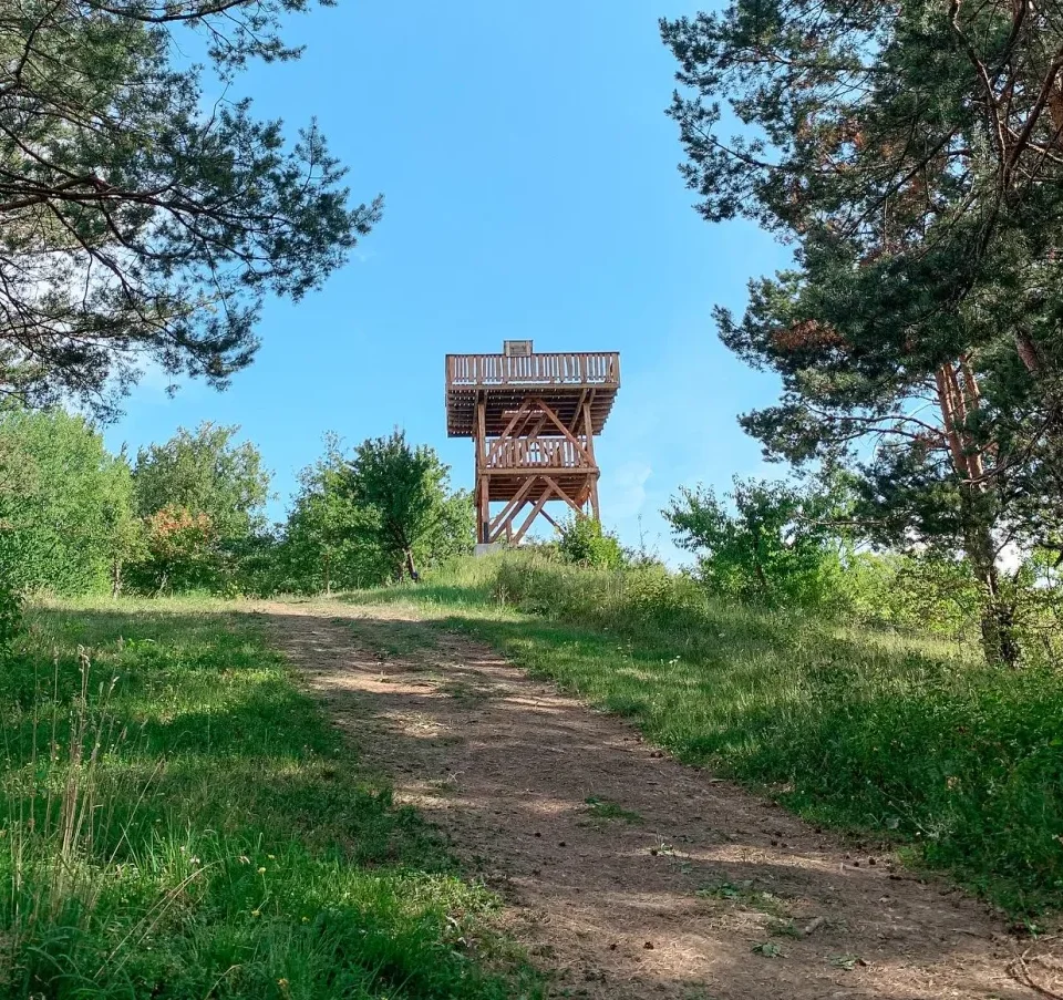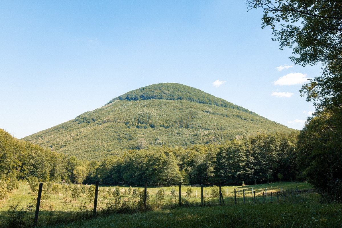

In the north-eastern part of the Slanské vrchy hills, between the villages of Petrovce and Hermanovce nad Topľou in the district of Vranov nad Topľou, stands one of the most striking hills in eastern Slovakia. Oblík stands at 925 metres above sea level and, due to its almost perfectly symmetrical conical shape, is considered by many tourists to be the most beautiful hill in the entire mountain range. Its silhouette is clearly visible from the surrounding valleys and neighbouring ridges, making it a natural landmark of the region.
Volcanic origin
Like the entire Slanské vrchy range, Oblík was formed by volcanic activity. It consists of pyroxene andesite, a rock formed by the solidification of lava millions of years ago. Experts regard it as one of the finest examples of an isolated volcanic formation in the east of the country. The steep slopes, covered in boulders and scree, still bear witness to its turbulent past and make the climb a more physically demanding experience than its altitude alone would suggest.
National Nature Reserve
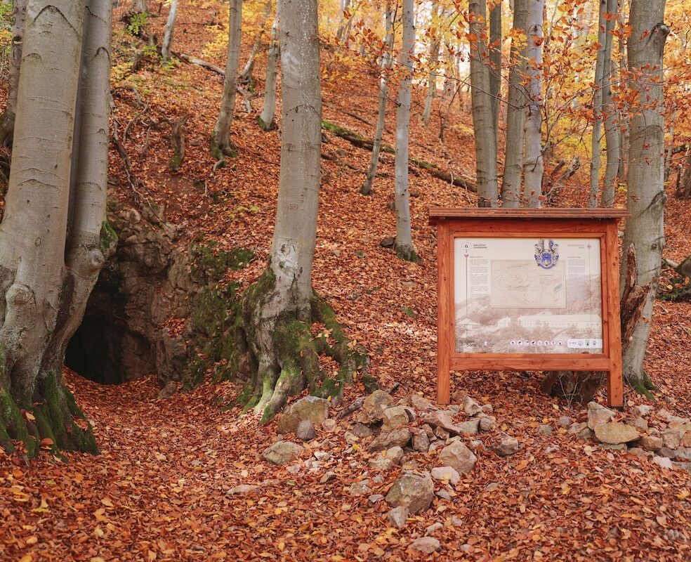
The slopes of Oblík have been protected since 1964. Today, the area is home to a national nature reserve covering approximately 93 hectares and classified under the fifth – and therefore strictest – level of protection. It was established as a scientific research site for the purposes of forestry. The forest here grows with little human intervention and, in places, has the character of a primeval forest. Up to eight different forest types alternate within a relatively small area, with beech predominating. The age of the mightiest trees is estimated at between 170 and 250 years. Such well-preserved forest communities are valuable both to scientists and to anyone wishing to experience the forest in its original form.
History and Legends
Oblík is not only attractive for its natural beauty. Archaeological finds show that people inhabited its slopes as far back as the Iron Age. In written sources, the hill is referred to as „Mons Oblik“ in documents dating from 1282 and 1285, when it served as a boundary marker for demarcating land boundaries. The surrounding area is also known for the partisan battles that took place there during the Second World War. The mountain’s mysterious atmosphere has given rise to numerous legends, which is why local tourists often describe it as mystical.
How to get to Oblík
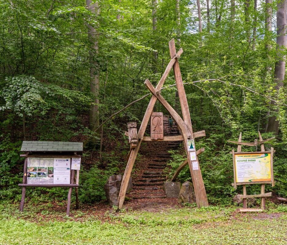
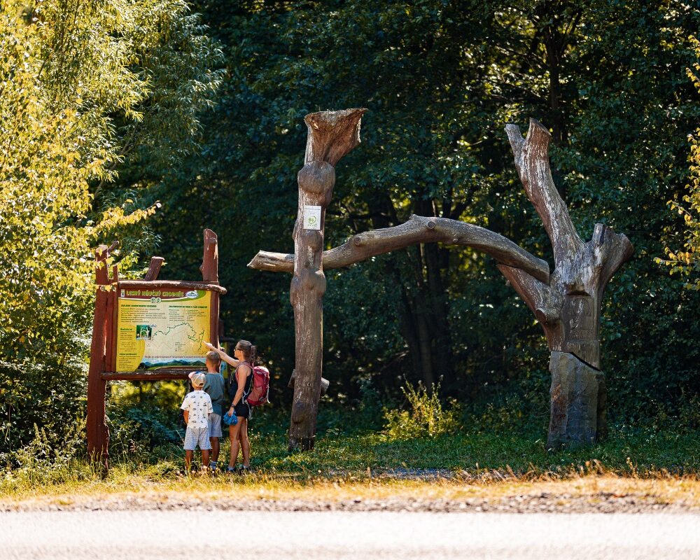
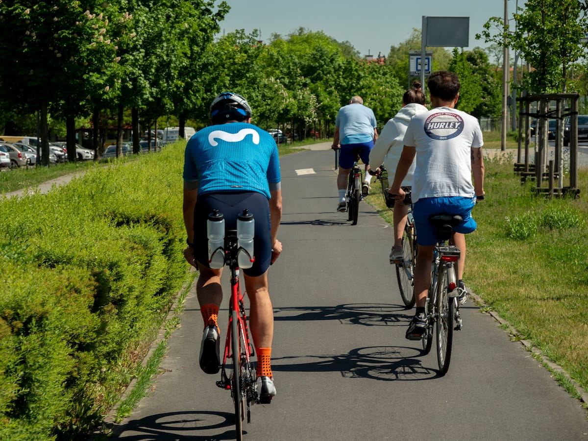
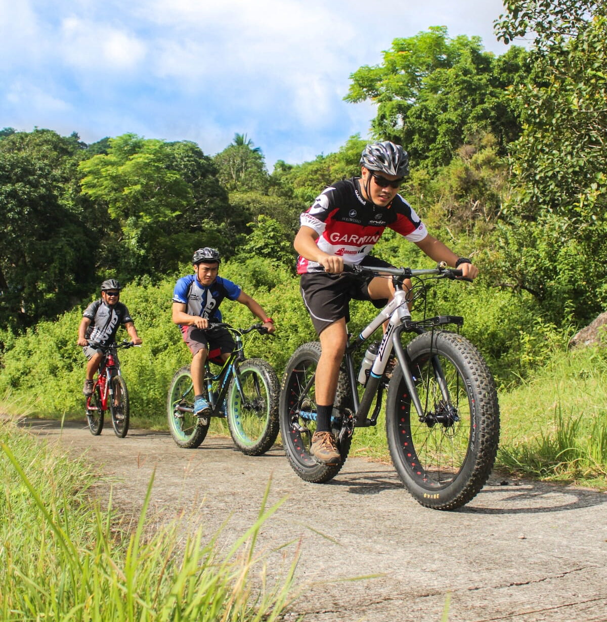
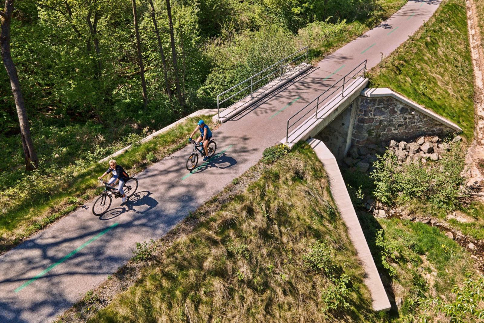
The hike usually starts from Hermanovce nad Topľou or Petrovce. From Hermanovce, the blue tourist trail leads past the Hermanovce Rocks, an impressive rock massif at an altitude of around 580 metres, up to Lúka pod Oblíkom. This popular spot, at an altitude of roughly 680 metres, is freely accessible and features a foresters’ hut, a spring and a campfire site. From Petrovce, you can reach it via the ramp above the village, across the Za Oblíkom meadow. Those who prefer cycling can set off from Podhradík along the forest track.
Source.
Photo source:OOCR RŠ
Map
Information
The regular cone of Oblík (925 m above sea level) is an extinct andesite volcano above Petrovce and Hermanovce nad Topľou, and is one of the iconic landmarks of the northern part of the Slanské vrchy hills. Its slopes are covered by a strictly protected beech forest, which in places resembles a primeval forest, with trees some over two hundred years old.
As well as its natural beauty, it also attracts visitors with its ancient history dating back to the Iron Age and its numerous legends. An ideal spot to rest before the climb is Lúka pod Oblíkom, with its spring and campfire site, which can be reached via a signposted trail around the Hermanovské Rocks.
The hill was named after its shape. Its rounded, symmetrical contours gave it a name that appears in historical documents as early as the 13th century.